Some say she was shot down while spying for the American government and captured by the Japanese. Others say she eloped with her navigator Fred Noonan to escape her fame and her husband. While fanciful exploits make for great headlines, here at Marine Science & Adventure (MSA), we try to ground our thoughts within the laws of science. While Adventure is the second half of our name, Science is always first.
The twin engine Lockheed Electra, flown by Earhart and navigated by Fred Noonan, never made the scheduled refueling stop at Howland Island. So logically, she either ditched in the Pacific or, as some evidence points, made a landing on a remote island. There are many proponents of the ditching at sea, and calculations done by Oceaneering, Inc. concluded the aircraft would have easily floated with empty fuel tanks undamaged in a water landing.
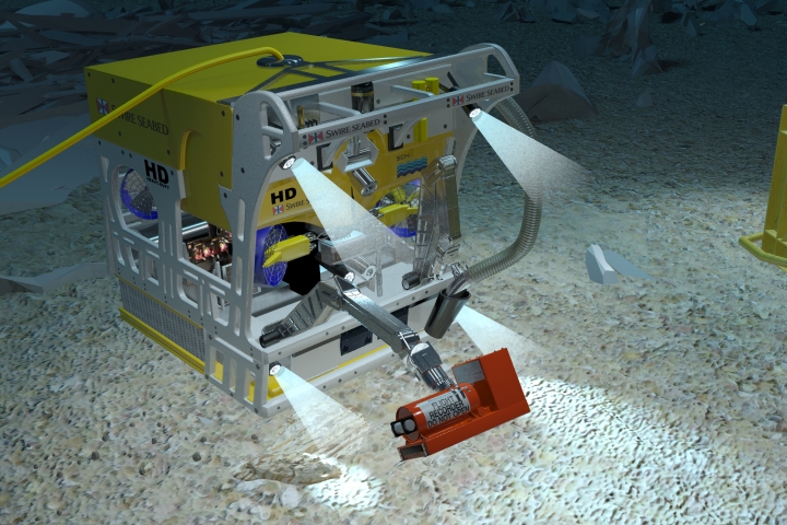
Probably the most significant expedition to date following up on the at-sea ditching, was the massive search performed by the Waitt Institute. Utilizing two REMUS 6000 autonomous underwater vehicles (AUVs,) the group searched over 2000 square miles in water over 5000 meters (5000m = 16,400 feet) deep.
I got to look at some of the data and talk with one of the project managers. These robots performed extremely well, imaging the bottom with side scan sonar and then photographing targets found with the sonar. The search resolution was good enough to locate metal chain or pipe less than 1 foot in diameter as well as a 55-gallon drum and other small debris.
There is a website devoted to the search called Search for Amelia which provides an excellent synopsis of technology and the actual results. It is unlikely that this professional team with some very sophisticated technology missed the plane. However, not finding the planes does not mean she was not lost at sea. As we are used to saying in the search business ” Now we know exactly where the target is not.”
Another organization Tighar, an international historic aircraft recovery group, believe the aircraft came to rest on, as it was known then, Gardner Island. Now called Nikumaroro, the island lies approximately 350 miles southeast of Howland Island where Earhart was supposed to land and refuel.
Why Nikumaroro you ask? Excellent question.
First and foremost, if you’re flying across the Pacific Ocean and you have a choice to land on an island or ditch at sea, you’re going to land as close to terra firm as you can. Even though the aircraft could conceivably float, Amelia and Fred had no lift raft on board. So one major reason for Nikumaroro is that the island lies on the same 157/337 position line that Fred Noonan had calculated for Howland Island. There was a large, flat reef which could be used for landing on a low tide. All stop. Land on a reef? Certain reefs are actually very flat, and portions of this reef have been described as flat enough to ride a bicycle on.
So far all conjecture, so here are some facts.
Radio transmissions received long after the Electra would have run out of fuel indicated a safe landing. If the Electra had landed on the open sea and was floating, her batteries would have flooded and the radio disabled. Aircraft debris was found on the island and used by the native population. Was the debris from a WWII aircraft or Amelia’s Electra? Hard to prove but there is no evidence or record of a WWII plane having crashed on or near the island. There were partial remains of a skeleton recovered that has been identified as being consistent with a northern European woman. Tighar expeditions to the island have recovered numerous anecdotal evidence of habitation by a castaway sometime prior to occupation by the coast guard which had a small contingent there during the war and other native occupation after the crash. These small bits of evidence along with aircraft debris have kept the Tighar group mounting numerous expeditions to the islands.
In 2012, the group mounted a high-tech underwater search hoping to uncover the smoking gun; the remains of the Electra which they believe landed on the reef. Discovery Channel aired a special in August of 2012 documenting this effort. Robotics and side scan sonar played a significant role, however no evidence immediately surfaced.
In the spring of 2013, news reports indicated that a reexamination of the sonar data from the 2012 survey had indeed located the plane. I looked at the image. While there is definitely a target, it looks like no side scan sonar image of an aircraft I’ve ever seen, and I’ve spent the last 30 years of my life staring at sonar screens.
I talked with the senior sonar analyst who collected the data using a Bluefin AUV. This is a guy who has found dozens if not hundreds of aircraft with sonar and mentored me in sonar interpretation back in the late 1980s. His take? No airplane targets in the data. Sometimes people see what they want to see in a sonar image. In this case, I agree with my colleague and definitely do not see the remains of an aircraft. You can take a look for yourself and decide what you think (http://news.discovery.com/history/us-history/amelia-earhart-plane-lockheed-electra-sonar-130615.htm).
Having said that, I do believe Tighar is on the right track and Amelia spent her remaining days on that lonely tropical island. Maybe aerial images of the island taken in 1938 and recently found in the New Zealand Air Force Museum will definitely answer the question. Until definitive proof is found, Amelia is still flying into tomorrow.
© Copyright Vince Capone 2013